Organizer
-
Archive
-
This organizer is used to post generic hikes that hike leaders can tailor specifically for their hike for posting on the calendar.
Location
Category
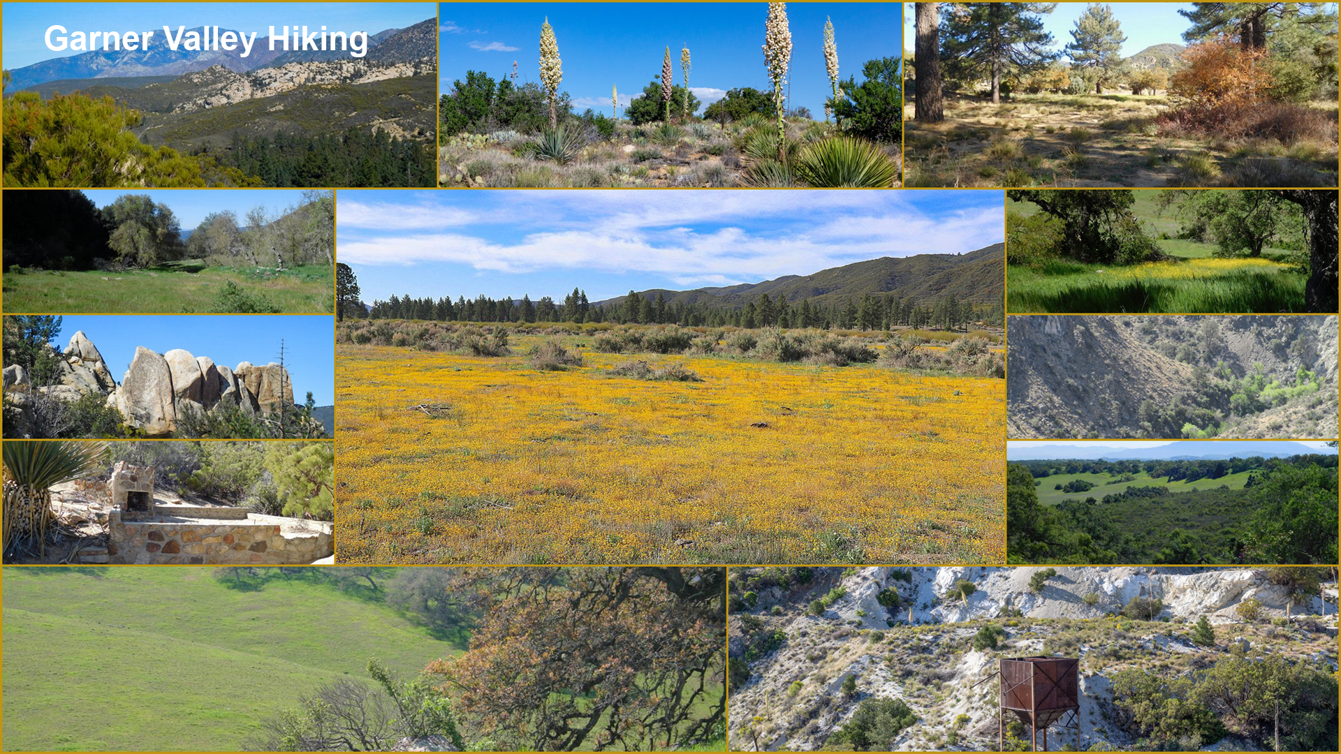
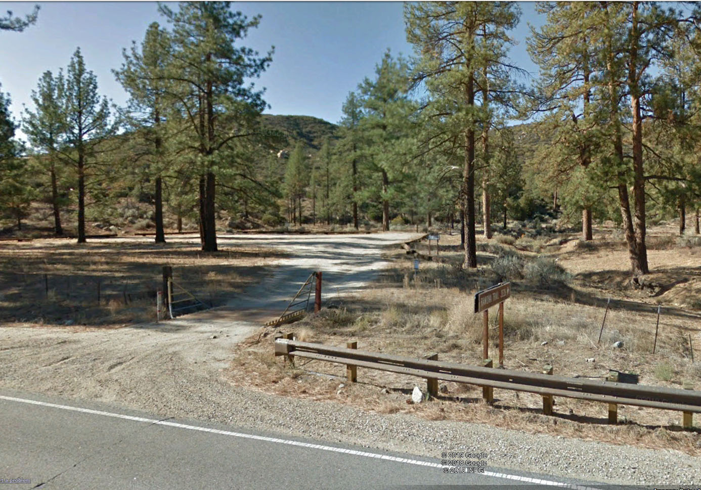
RAMONA TRAIL
From the parking area off of hwy. 74, follow the Ramona Trail west, staying left at a fork with a dirt road. The trail soon begins its ascent, making switchbacks up the side of the mountain. As the steadily graded trail climbs, you get nice views of Garner Valley, the San Jacinto’s and the Santa Rosas.
At 5.8 miles, you reach Thomas Mountain Road. Make a hard left and follow the road a quarter mile to a junction. Turn right on the spur that leads 0.4 miles to the summit.
To make the hike a loop, follow the spur back down to Thomas Mountain Road and head right, passing some campsites. The road descends through the pine woodland for 1.6 miles before reaching a junction. Turn left and continue your descent for 0.4 miles, arriving back at the junction with the Ramona Trail. Follow the single-track for 3.7 miles back down to the trail head.
12.5 Miles with Elevation gain of 2600 ft.
IF THIS IS YOUR FIRST TIME HIKING WITH THIS LEADER, PLEASE CALL. IF YOU HAVE HIKED WITH THIS LEADER BEFORE, PLEASE EMAIL.
HIKE LOCATOR: Garner Valley, Idyllwild HIKE DIFFICULTY: Strenuous
HIKE LEADER: Archive
Note: You must be a current CVHC member to hike with the club! Join Now!