Organizer
-
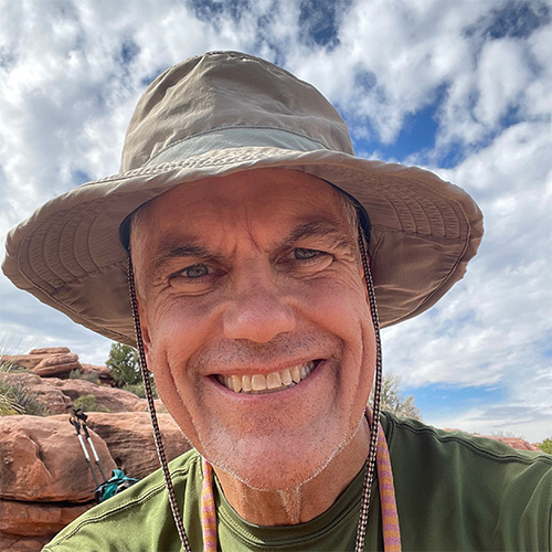
Andrew Walls
-
Phone
530-264-6290 -
Email
atwalls@gmail.com -
Andrew is a full time resident of Palm Desert who actually hikes during the summer! Andrew is an avid hiker and backpacker who can be found strolling on and off trails throughout the Coachella Valley, Joshua Tree NP and Grand Canyon NP. In addition to his participation in CVHC activities, Andrew is a Certified California Naturalist and a hike leader with Friends of the Desert Mountains. Prior to moving to the CV in 2017, Andrew was a team leader with the Nevada County Sheriff's Search and Rescue team in Northern California.
San Jacinto Peak via Deer Springs Trail
Are you in the mood for a long walk in the hills? If so, this is the hike for you. We will start along Hwy 243 just west of Idyllwild and will follow Deer Springs trail up to the PCT, through Little Round Valley and then to the peak. We will return via Wellman’s Cienega trail, the PCT and Deer Springs.
This is a long hike (~17 miles) with great views and multiple opportunities to encounter that elusive seasonal fauna, the PCT Thruhiker. We will climb gradually up ~5300 feet and then coast downhill for the second half. This hike typically lasts all day (~6 hours) at a fast pace.
No parking permits or shuttles are required, you just have to get to the Deer Springs trailhead (details below) by 08:00. This is a popular entry point, so it helps to arrive early to snag a good parking spot. Carpooling from the Valley is also a good idea.
As always, you should bring food and water to sustain you for the entire distance. There might be water available in the various creeks we will cross, but do not depend on that.
IF THIS IS YOUR FIRST TIME HIKING WITH ANDREW, PLEASE EMAIL ME AT atwalls@gmail.com TO INFORM ME OF YOUR HIKING EXPERIENCE AND CURRENT FITNESS LEVEL.
Trip details:
- Altitude gain: ~5300 feet
- Distance: ~17 miles
- Pace: average 2 MPH
- Terrain: packed trail, some rocks
- Obstacles: nothing significant other than the rock pile at the peak
- Difficulty rating: Strenuous
- MAP: https://caltopo.com/m/GL1CLG5
Please email Andrew to sign up for this hike and include your phone number.
HIKE LEADER: Andrew Walls
HIKE LOCATOR: Hwy 243, Idyllwild
HIKE DATE/TIME: Saturday, May 2, 2026 08:00-16:00
Note: You must be a current CVHC member to hike with the club! Join Now!