Organizer
-
Andrew Walls
-
Phone
530-264-6290 -
Email
atwalls@gmail.com -
Andrew is a full time resident of Palm Desert who actually hikes during the summer! Andrew is an avid hiker and backpacker who can be found strolling on and off trails throughout the Coachella Valley, Joshua Tree NP and Grand Canyon NP. In addition to his participation in CVHC activities, Andrew is a Certified California Naturalist and a hike leader with Friends of the Desert Mountains. Prior to moving to the CV in 2017, Andrew was a team leader with the Nevada County Sheriff's Search and Rescue team in Northern California.
Location
Category
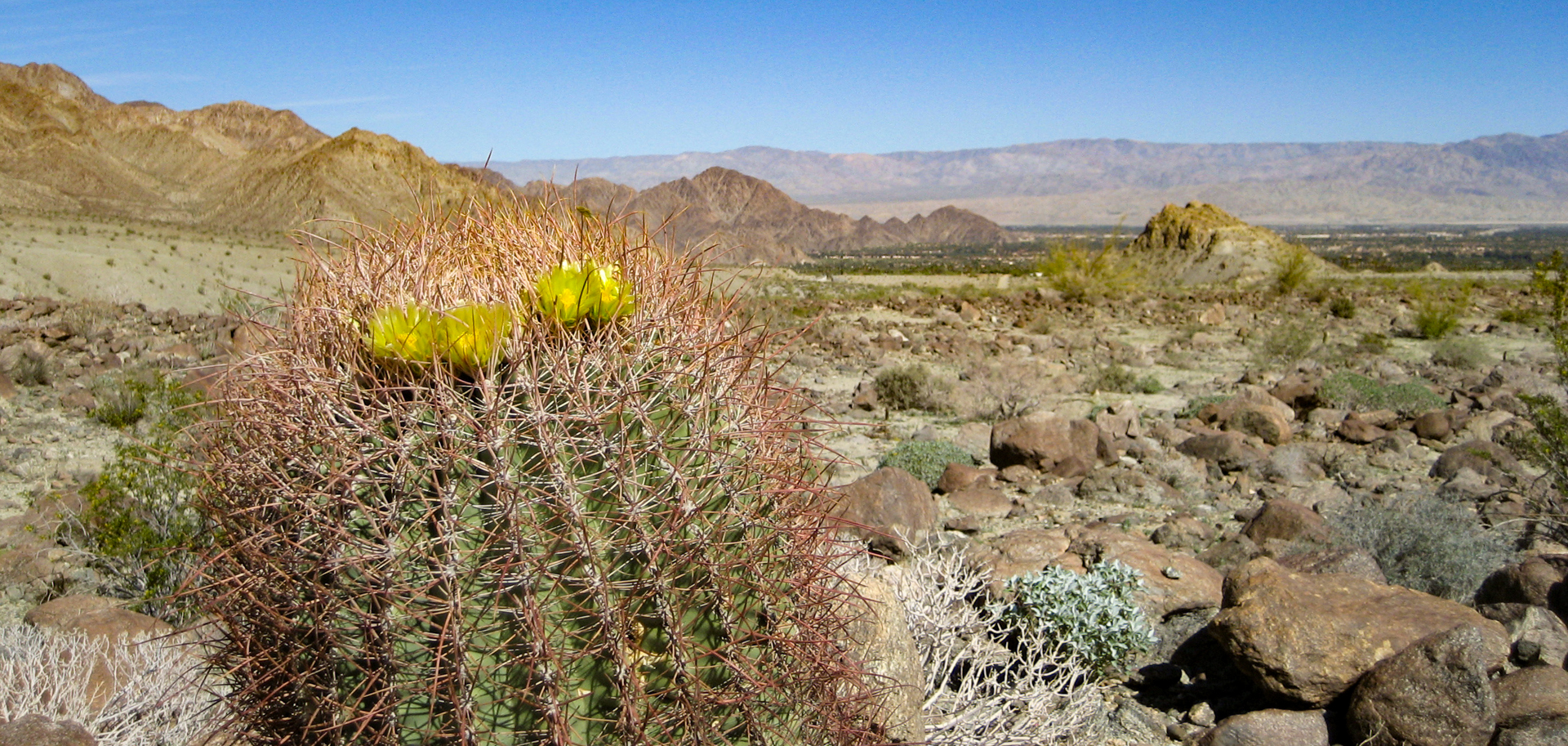
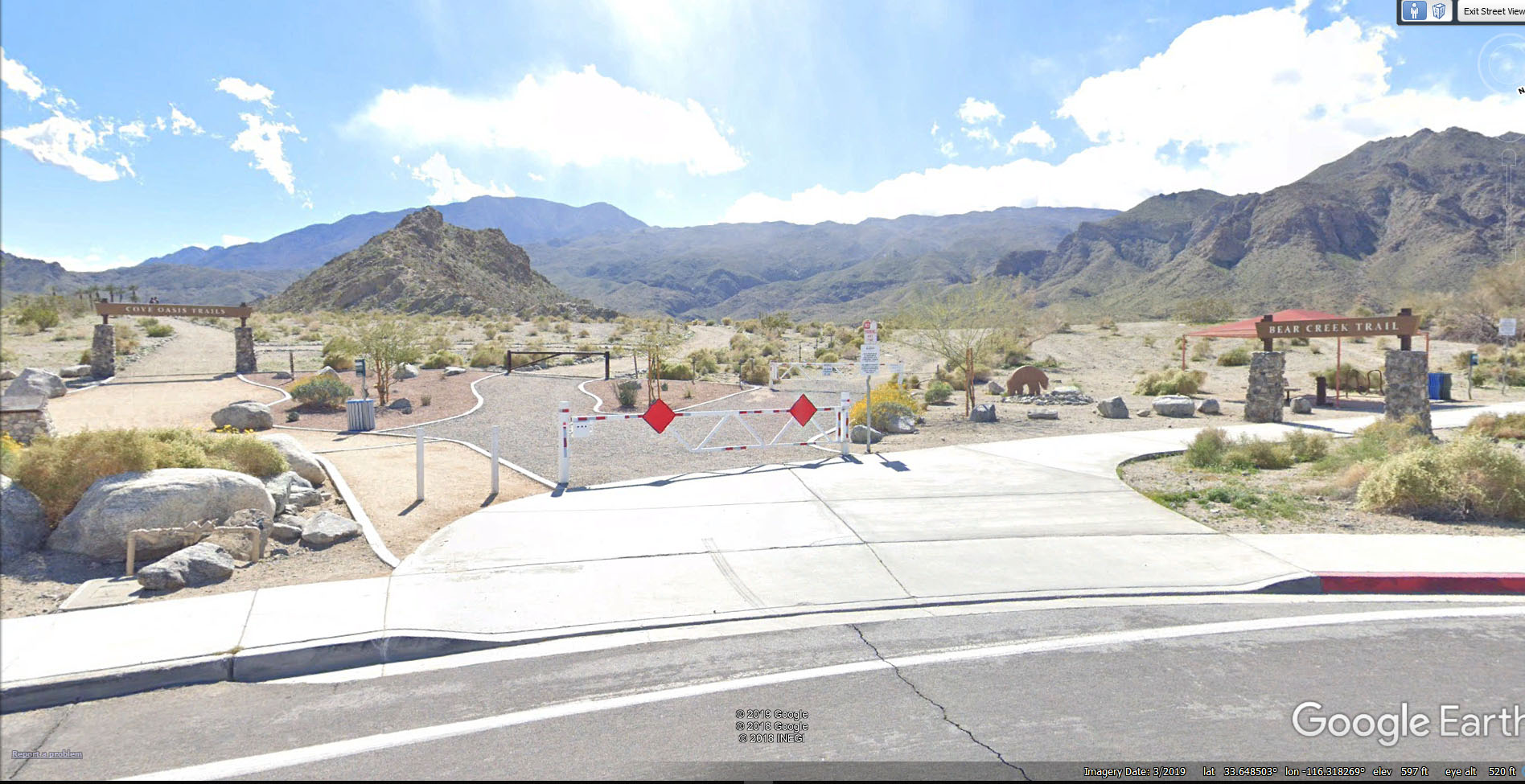
GUADALUPE TRAIL FROM LA QUINTA COVE TO PINYON PINES
The ultimate hike for the hardcore hiker in the Coachella Valley! This 14 mile trail/route begins in La Quinta Cove on the Boo Hof and then climbs relentlessly up the Guadalupe trail until it reaches the Horse Thief trail and exits at Hwy 74 at Pinyon Flats. We will climb 4500 feet above La Quinta, passing by the collapsed cabin and artifacts at Cowboy Camp (where we eat lunch) through dense brush via trails and routes that require solid navigation skills and an ability to read the terrain. The terrain is steep and rocky with dense brush obscuring the route. Once we reach the saddle at 4833 foot elevation (4500 feet up in 7.5 miles), we are lulled into a false sense of accomplishment as the trail levels out and even goes downhill a bit. Then the trail slaps us awake with more climbing through tight washes and over crumbling ridges to our exit at the Pinyon Flat transfer station.
A successful hike on this route demands preparation – fitness, mental stamina (this is a marathon, not a sprint), gear (the ten essentials are, well, essential) and good teamwork to keep everyone moving forward. Although no rock climbing or bouldering is involved, the trail surface is rugged and sloping in all directions. We will scramble through dense brush and washes crowded with trees and bushes. A shuttle is required and long sleeves and pants are recommended to protect skin from the plentiful vegetation.
It could be COLD up top. Bring layers to take off and put on to keep yourself comfortable as the temperature fluctuates. There is little to no shade available.
Map here: https://caltopo.com/m/73TJ5
- Altitude gain: 4118 feet (315′ to 4833′)
- Cumulative altitude gain: 5477 feet
- Distance: 14.2 miles
- Pace: 2.0 MPH, ~8 hours
- Terrain: Varied, deep sand, steep sections, water crossings, overgrown trail
- Obstacles: Rocks, boulders, cactus, plant debris, high steps up
- Difficulty rating: Very Strenuous
Please email Andrew to sign up for this hike and include your phone number.
Note: You must be a current CVHC member to hike with the club! Join Now!


