Organizer
-
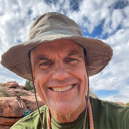
Andrew Walls
-
Phone
530-264-6290 -
Email
atwalls@gmail.com -
Andrew is a full time resident of Palm Desert who actually hikes during the summer! Andrew is an avid hiker and backpacker who can be found strolling on and off trails throughout the Coachella Valley, Joshua Tree NP and Grand Canyon NP. In addition to his participation in CVHC activities, Andrew is a Certified California Naturalist and a hike leader with Friends of the Desert Mountains. Prior to moving to the CV in 2017, Andrew was a team leader with the Nevada County Sheriff's Search and Rescue team in Northern California.
Location
Category
Jo Ponds: Reconnaissance Hike
Jo Ponds: Reconnaissance & Maintenance
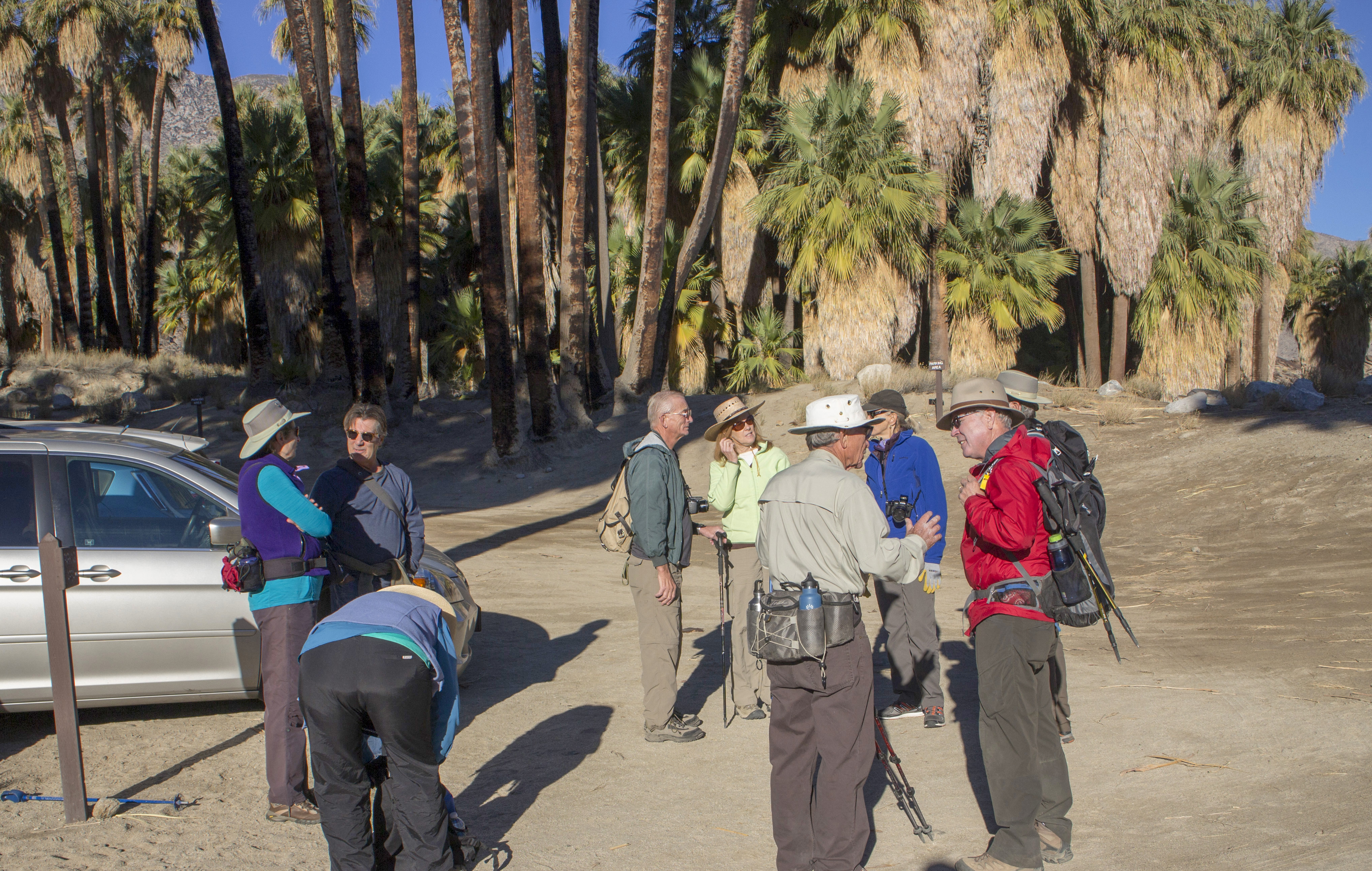
Jo Ponds – a trail and route lost in the mists of time. Jo Ponds is an un-maintained route that connects the West Fork trail in Indian Canyons to the Pacific Crest Trail at Cedar Springs. Long time hikers in the Coachella Valley recall expeditions on Jo Ponds involving getting lost, climbing over downed trees, and scrambling on rocky slopes. Sound like fun?
On this hike we will start at the Trading Post in Indian Canyons, ascend the West Fork trail (good warm up) and then work our way up Jo Ponds as far as time and our fortitude will allow. We will return to the Trading Post and exit Indian Canyons around 4 PM.
If you like the Guadalupe, you’ll love Jo Ponds. This hike involves a lot of altitude gain and dodgy trail conditions. Jo Ponds is an unmaintained route with the occasional cairn to show the way.
This route provides stunning views of Indian Canyons and the Palm Canyon area. This expedition requires solid navigation skills and an ability to read the terrain. The terrain is steep and rocky with dense brush obscuring the route.
A successful hike on this route demands preparation – fitness, mental stamina (this is a marathon, not a sprint), gear (the ten essentials are, well, essential) and good teamwork to keep everyone moving forward. Although no rock climbing or bouldering is involved, the trail surface is rugged and sloping in all directions. We will scramble through dense brush and washes crowded with trees and bushes. Long sleeves and pants are recommended to protect skin from the plentiful vegetation. Bring food and liquids for a full day on the trail.
We will start hiking ~8:15 (Indian Canyons opens at 08:00). There is an admission charge at the gate to Indian Canyons with a discount for seniors (62+). Bring an ID! Cash and cards accepted. It could be COLD up top. Bring layers to take off and put on to keep yourself comfortable as the temperature fluctuates.
Map here: https://caltopo.com/m/U8MFJ40
- Altitude gain: maybe 5956 feet (804′ to 6760′)
- Cumulative altitude gain: 6274 feet
- Distance: maybe 11.46 miles
- Pace: 1.5-2.0 MPH, ~8 hours
- Terrain: Varied, deep sand, steep sections, water crossings, overgrown trail
- Obstacles: Rocks, boulders, cactus, plant debris, high steps up
- Difficulty rating: Very Strenuous
Please email Andrew to sign up for this hike and include your phone number.