
Organizer

-
Diane Petrilla
-
Phone
931-224-5149 -
Email
petrillad@gmail.com -
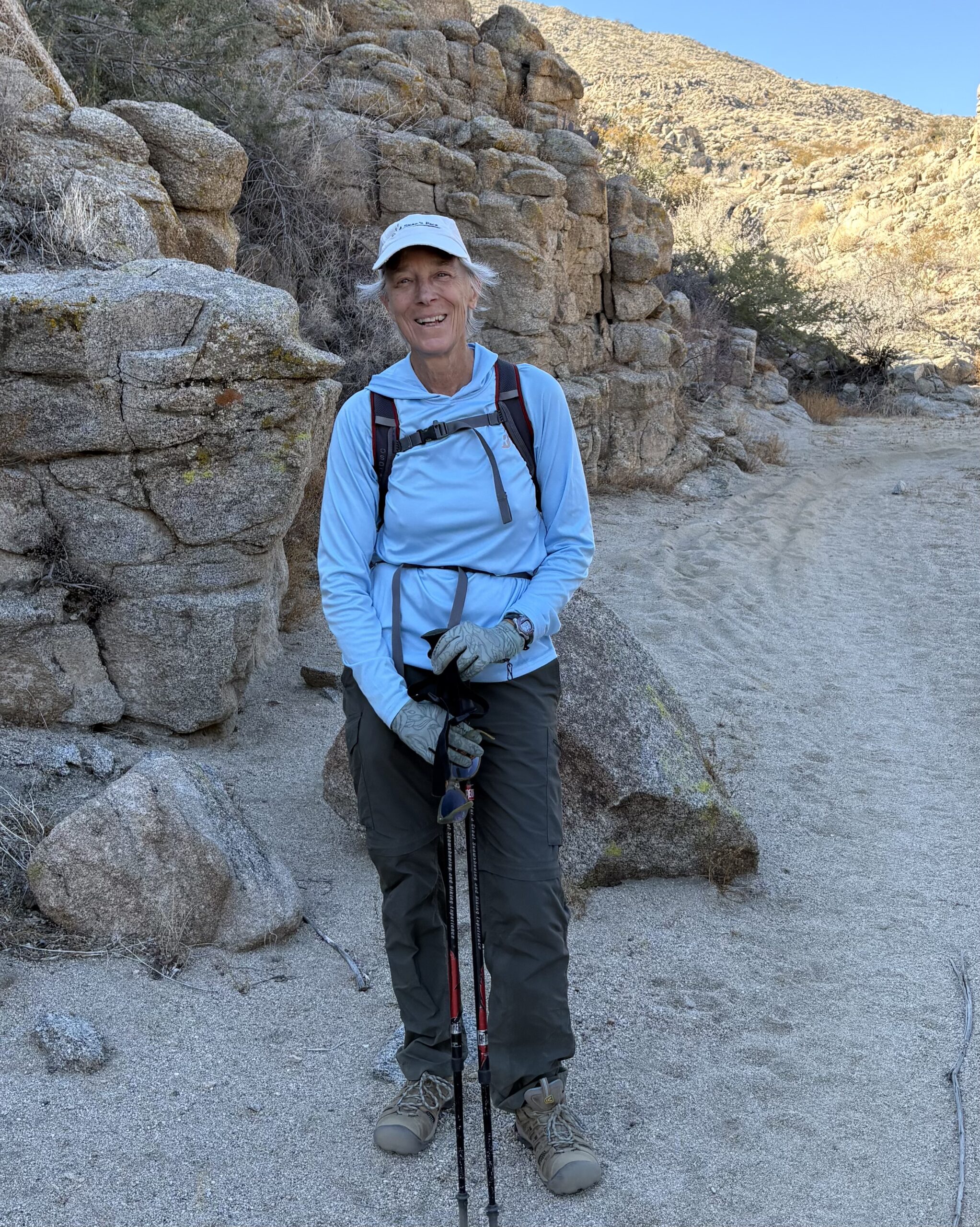
Diane and her husband Eric moved to Palm Desert in the Spring of 2024 from east Tennessee. They are year-round residents and are loving being closer to grandchildren who live in the valley! Diane is an avid hiker and backpacker, having led multiple hikes for the Smoky Mountains Hiking Club for many years, and holding a number of leadership positions in that 100 year-old organization. She thru-hiked the John Muir Trail in 2022 and is excited about living closer to the magnificent Sierra Nevadas, as well as exploring all of the hiking opportunities California has to offer!
Fuller Ridge Trail-PCT
Co-Leaders Diane Petrilla and Sandy Sladen
For this hike, we’ll meet at the beginning of Black Mountain Road here at 8am. [Note: this Google map link shows a lot of snow at the TH. We will not be dealing with that!]
Please also note, the location above is NOT the Black Mountain Trail pull-off, which leads to a lookout tower. Our trailhead pullout is also on Rte 243, but closer to Idyllwild, and marks the beginning of Forest Rte 4S01.
The Fuller Ridge Trail portion of the PCT begins at the top of this road, about 8.5 miles from the highway. We’ll meet at the highway pullout and drive slowly up the bumpy dirt road to the TH. This will take about 45 minutes; be prepared to be patient. The 2 hike leaders can carry 3 hikers apiece in their AWD vehicles. If more sign up, we may need another AWD vehicle driver. Details about possibly carpooling will be communicated closer to time.
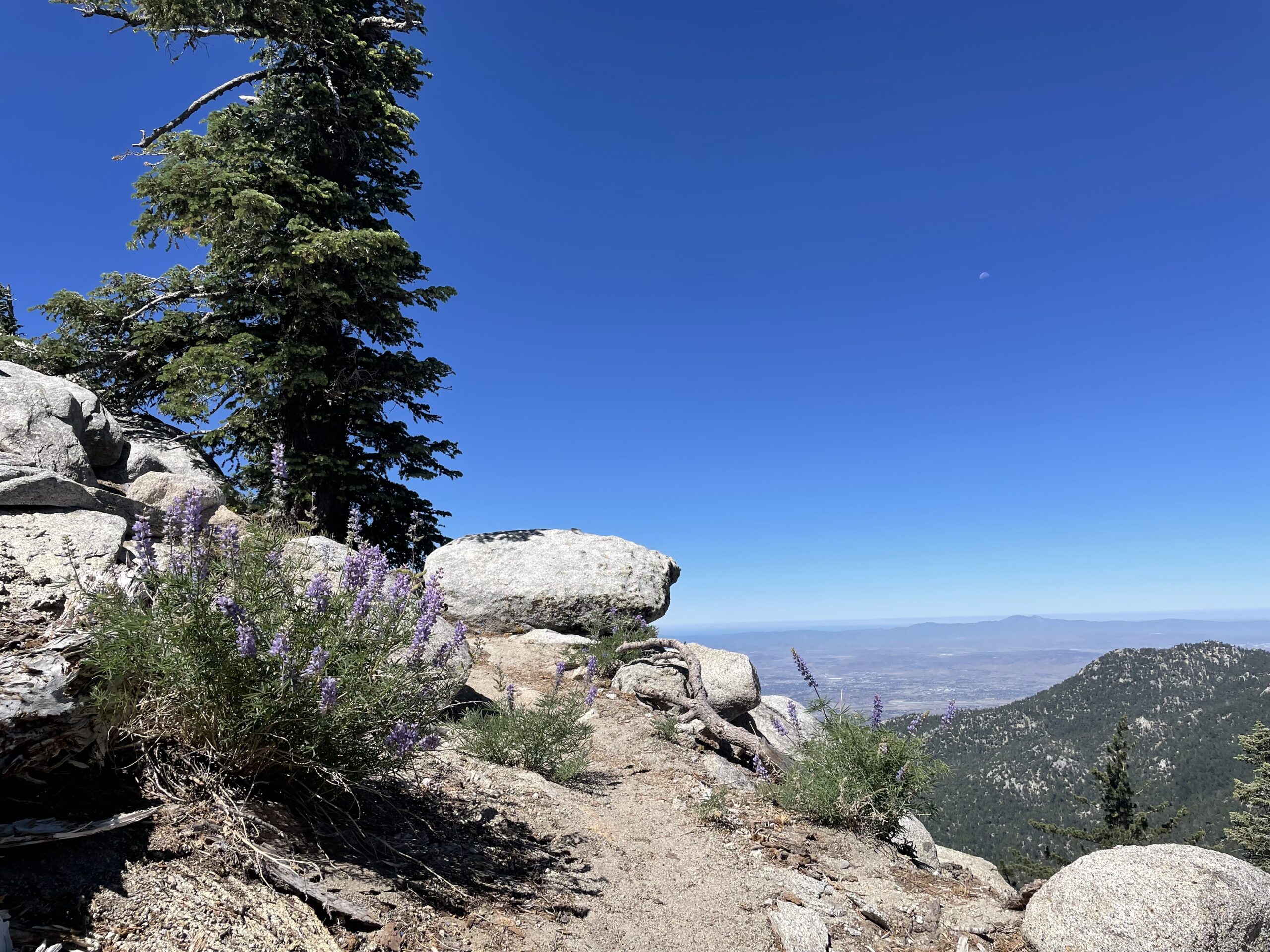
The reward is a gorgeous 4.5-mile hike SE on the PCT along Fuller Ridge, with multiple stunning views of the valleys to the east and west. We spend parts of the hike on hushed pine- needle covered trail, flanked by huge conifers and among giant granite boulders. Our turn-around point is a lovely cascading stream called the North Fork of the San Jacinto River, where we’ll stop for snack/lunch.
Total distance: 9 miles RT
Elevation gain: ~ 1200 ft with max elevation about 9000 ft.
Pace: Moderate, ~ 2mph average
Please RSVP below. One of the hike leaders may contact you about your hiking experience if necessary.