Organizer
-
Bill Hoke
-
Phone
206-940-1645 -
Email
billhokedata@gmail.com -
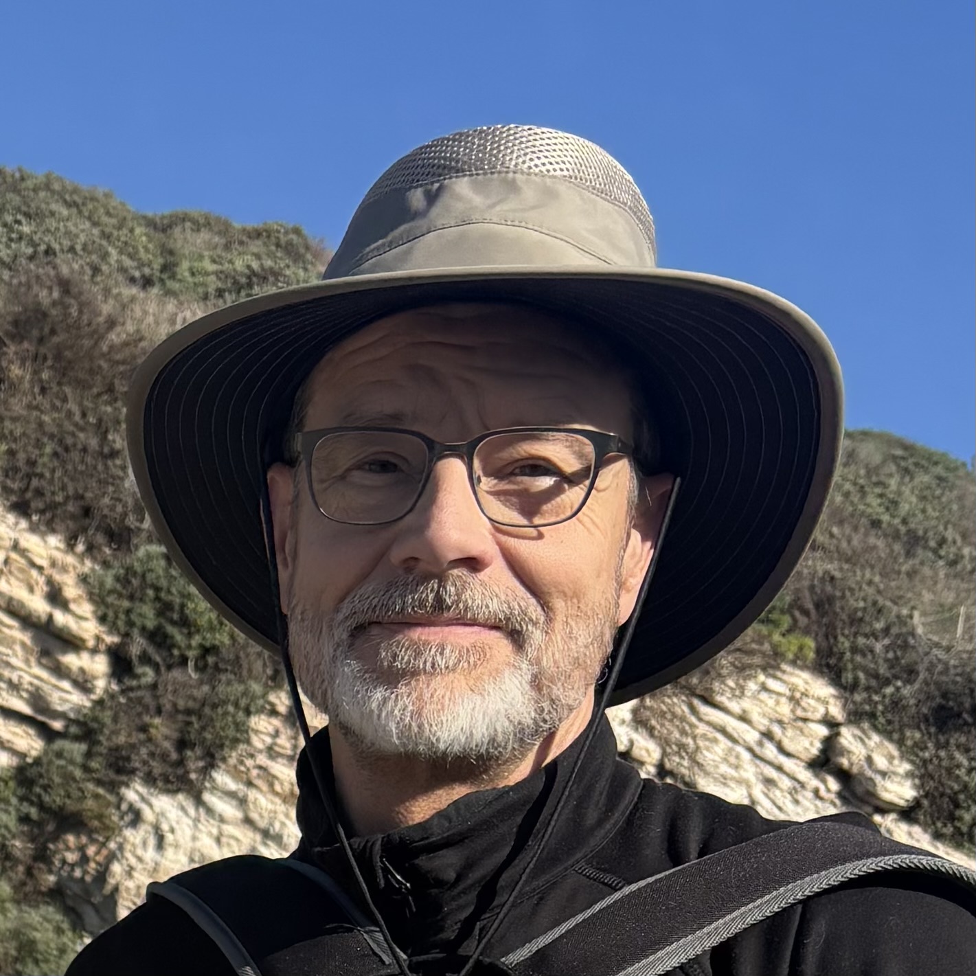
Bill grew up in suburban Ohio, where the only walking in the woods he ever did was to hide out and make mischief with his friends. By his mid-20s, he had put all of that behind, attending college and then a class with the National Outdoor Leadership School in the North Cascades. He moved to Seattle, established a career in data management, and was moderately but consistently active in running, bicycling, hiking and kayaking. Bill is joined on most hikes by his wife, Priscilla Horner. Together they adopted and raised two daughters, moving with them to the Berkeley area in 2013, where they retired in early 2025. They spent that first year revisiting the Northwest, traveling around in a camper van, and finally settling in Palm Springs. Bill has enjoyed photographing the desert landscapes and plants, and hopes to develop that interest along with writing. He and Priscilla have enjoyed the club hikes and meeting club members, and look forward to more to come.
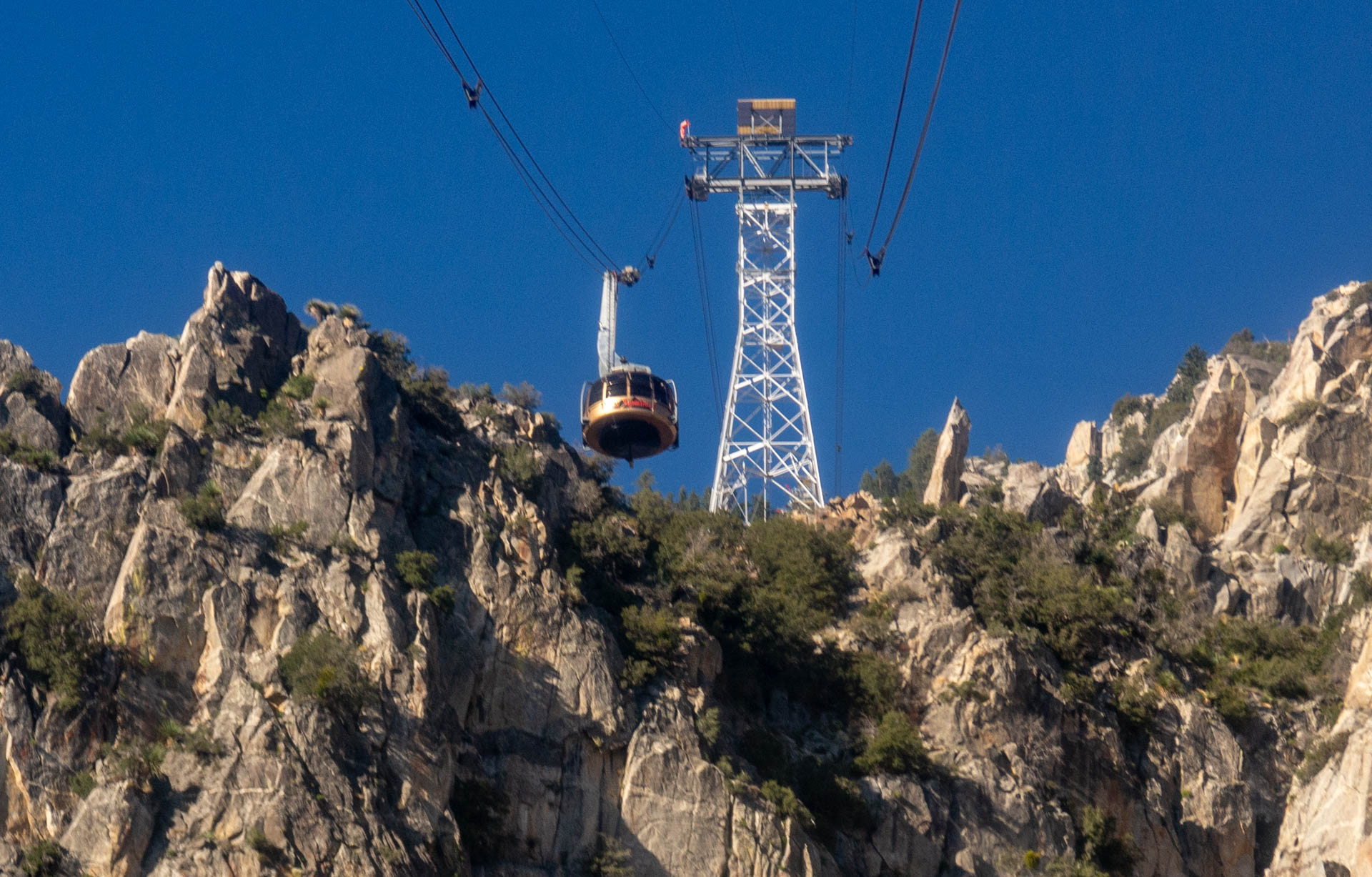
- 1 Tramway Palm Springs, CA 92262
Category
Round Valley Plus Notches
Want to have a moderate hike in the cooler air of San Jacinto State Park? Or, have you never been to the park and are wishing for a basic orientation to the trails available from the Palm Springs Aerial Tramway?
The tram takes hikers 8000’ above the valley floor to a very different climate. For example, the forecasted high temperature for Palm Springs on 8/2/2026 was 112. Up at Mountain Station (top of the tram)? 78 degrees.
This hike will cover two popular loops: The Round Valley Loop and the Desert View Trail. The Round Valley Loop uses the Round Valley, Willow Creek and High Trails. The Round Valley Trail leads to other popular destinations, including Wellman Divide and Mount San Jacinto, both featured on more strenuous hikes offered by the club. The Desert View Trail is a loop from Mountain Station that features five “notches” offering spectacular views of the Coachella Valley.
The distance, elevation gain and pace will all be moderate. However, the high elevation of the area will sap a bit of your strength, so if you’re unfamiliar with that, please read the related write-up available under the Hiking With CVHC tab and scrolling down to the Altitude Illnesses document link. Also, note that there’s a steep but fairly short asphalt path between Mountain Station and the trailheads.
Please meet inside Valley Station, at the base of the tram, no later at 9:30am to catch the first tram up the mountain at 10am. If you are a resident of the Coachella Valley you can park for free by presenting your drivers license (with your local address) at the entrance to the parking area. You can purchase a tram ticket ahead of time online at https://pstramway.com/tickets/ or at the station on the day of the hike. A Summer Pass is also available at the same link listed, which also covers parking and omits the need for a ticket or standing in the ticket line in the station, although you will need to use that line the first time you use it to obtain your pass card.
Please bring at least 2 liters of water, plus snacks and/or lunch.
Hike Leader: Bill Hoke
Hike length: ~7 miles
Elevation gain: ~1100 ft, beginning at altitude of 8500ft.
Difficulty: Moderate (except for the high elevation)
Note: You must be a current CVHC member to hike with the club! Join Now!
To join this hike, please use the RSVP form below.