Organizer
-
Bill Hoke
-
Phone
206-940-1645 -
Email
billhokedata@gmail.com -
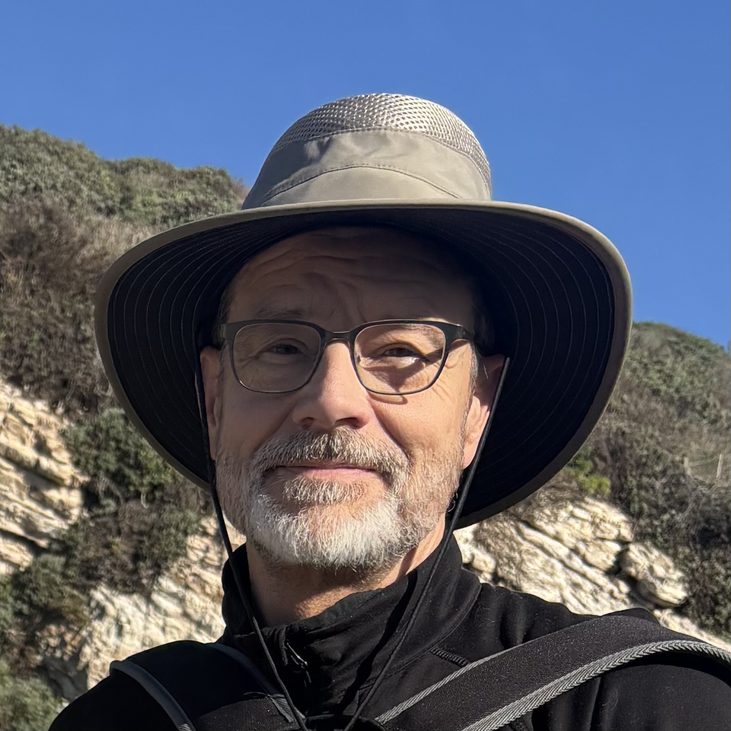
Bill grew up in suburban Ohio, where the only walking in the woods he ever did was to hide out and make mischief with his friends. By his mid-20s, he had put all of that behind, attending college and then a class with the National Outdoor Leadership School in the North Cascades. He moved to Seattle, established a career in data management, and was moderately but consistently active in running, bicycling, hiking and kayaking. Bill is joined on most hikes by his wife, Priscilla Horner. Together they adopted and raised two daughters, moving with them to the Berkeley area in 2013, where they retired in early 2025. They spent that first year revisiting the Northwest, traveling around in a camper van, and finally settling in Palm Springs. Bill has enjoyed photographing the desert landscapes and plants, and hopes to develop that interest along with writing. He and Priscilla have enjoyed the club hikes and meeting club members, and look forward to more to come.
PCT North from Highway 74
This hike covers the relatively flat section of the Pacific Crest Trail (PCT) running North from Highway 74. The first few miles feature an easy surface alongside an assortment of desert shrubs and trees, eventually entering sections with rock formations and some stands of pine trees. There are views of the nearby ranches, as well as peaks to the North in Mt. San Jacinto State Park. The trail becomes a bit rocky later on, but not extremely so. This version of the hike is quite a bit shorter and less strenuous than the one described by Philip Ferranti in his book, 140 Great Hikes In and Near Palm Springs (North Fork of the Pacific Crest Trail to Live Oak Spring), offered previously by the club.
Pictures and a map from our scouting hike last month are available here.
The distance, elevation gain and pace will all be moderate. However, the higher elevation of the area will sap a bit of your strength, so if you’re unfamiliar with that, please read the related write-up available under the Hiking With CVHC tab and scrolling down to the Altitude Illnesses document link.
We’ll meet at 730am at St Margaret’s Episcopal Church for optional carpooling. The address is: 47535 CA-74, Palm Desert, CA 92260
Please bring at least 2 liters of water, plus snacks and/or lunch.
Hike Leader: Bill Hoke
Hike length: ~9 miles
Elevation gain: ~1100’, beginning at an elevation of about 4900’
Difficulty: Moderate
Note: You must be a current CVHC member to hike with the club! Join Now!
To join this hike, please use the RSVP form below.
Change my RSVP
