
Organizer
-
Sandy Sladen
-
Phone
714-404-7066 -
Email
sandysladen@gmail.com -
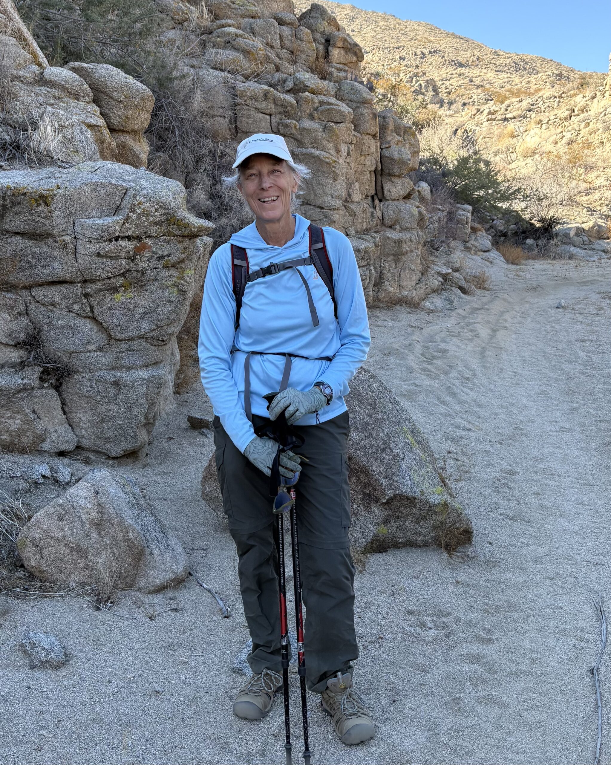
Sandy first discovered the mountains as a young girl spending summers in the White Mountains of New Hampshire. The mountains have called her ever since and she has been fortunate to have the opportunity to hike and backpack in the White Mountains, the Sierra Nevada, the Andes, the Annapurna region of Nepal, and in various Southern California ranges. She really got going after she turned 60 and completed all the 48, 4000 foot peaks in the White Mountains between the ages of 60-65 and then between 70-71 she hiked the PCT from Mexico to Idyllwild. When hiking, Sandy likes to be in the moment enjoying all the sights, sounds and smells of nature. She also enjoys nature writing and poetry. Sandy moved to Palm Springs in 2019 and joined the CVHC in 2024. She has enjoyed learning about new trails and meeting some great fellow hikers. Sandy looks forward to leading moderate hikes in some of her favorite places and sharing her love of nature and nature writing.

Category
Spitler Peak Trail to Apache Peak
The Spitler Peak Trail is a challenging 10 mile out and back hike in the San Jacinto Mountains (near Mountain Center and Idyllwild). It climbs roughly 2,582 feet over 5 miles from the desert scrub to the Pacific Crest Trail (PCT), rewarding hikers with panoramic views of Garner Valley, Lake Hemet, and Palm Springs. The first few miles of the trail ascend gradually on switchbacks through chaparral and trees. At about the 3 mile mark it heads up more steeply to the PCT at about 7000 feet. From here we head north for about .6 miles along the PCT to a side spur up to Apache Peak, another .2 miles and 561 feet elevation gain. Total miles for hike will be about 11.6.
Trailhead: The trailhead is located off Apple Canyon Road, about 2.6 miles south of Highway 74 near Lake Hemet. Park in the large dirt turnout on the right side of the road. We can carpool if participants are interested or meet at the Spitler Peak Trailhead.
Carpooling and other directions will be emailed prior to the hike.
Hike Leaders: Sandy Sladen and Diane Petrilla
Distance: 11.6 miles round-trip.
Elevation Gain: 3,143 feet
Pace: Moderate, 2mph
Please email the hike leader, Sandy Sladen, if you wish to join this hike. She may ask you some questions about your hiking experience if you have not hiked together previously.
Note: You must be a current CVHC member to hike with the club! Join Now!